Role of Drones in Preventing Deforestation
Drones have become indispensable tools in the battle against deforestation, offering cost-effective and highly efficient means to monitor, detect, and respond to environmental threats. With advanced sensors and real-time imagery, drones can survey expansive forest areas that would otherwise be inaccessible or too challenging for ground teams to cover regularly. Their incorporation into conservation strategies is revolutionizing how forests are protected, supporting global efforts to preserve biodiversity, mitigate climate change, and sustain local communities dependent on healthy woodlands.

Remote Monitoring and Surveillance
Real-Time Detection of Illegal Logging
Drones equipped with high-resolution cameras and advanced sensors can quickly detect unauthorized logging activities even in remote forest regions. The speed and agility of drones enable the collection of real-time evidence, such as clear video or photographic documentation of active tree felling, unauthorized vehicle movements, or suspicious encampments. Unlike ground patrols, which are time-consuming and often limited by terrain, drones cover large expanses rapidly, making it significantly harder for illegal loggers to operate undetected. This immediate situational awareness equips rangers and law enforcement with actionable information, enabling them to respond swiftly, prevent further environmental damage, and deter future violations. Over time, these efforts help create a powerful deterrent effect, making forests safer from exploitation.


Tracking Changes in Forest Canopy
One of the critical strengths of drones is their ability to generate detailed aerial maps that reveal subtleties in forest canopy coverage and health. Using technologies like LiDAR and multispectral imaging, drones can identify areas of thinning trees, disease outbreaks, or storm damage that might signal early-stage deforestation. These frequent and detailed observations present a level of data granularity rarely possible with traditional monitoring methods. Conservationists can analyze differences in forest cover over time, quantifying the scale and speed of changes. The rapid detection of problems ensures more effective allocation of reforestation efforts and protective interventions, ensuring forest ecosystems remain resilient and vibrant for generations to come.
Biodiversity Conservation and Habitat Protection
Drones provide an innovative approach for tracking and studying wildlife populations within dense forest habitats. Traditional wildlife surveys often involve extensive ground-based efforts, which can be invasive, dangerous, or simply impractical in rugged terrain. With aerial drones, researchers can unobtrusively observe animals in their natural habitats, identify species distribution, and detect changes in migration or breeding patterns. This information proves critical in identifying the early impacts of deforestation on threatened or endangered species. By continuously monitoring population health and movement, drones facilitate timely intervention strategies—from relocating species at risk to providing additional habitat—playing a crucial role in the preservation of biodiversity.

Enhancing Community Engagement and Education
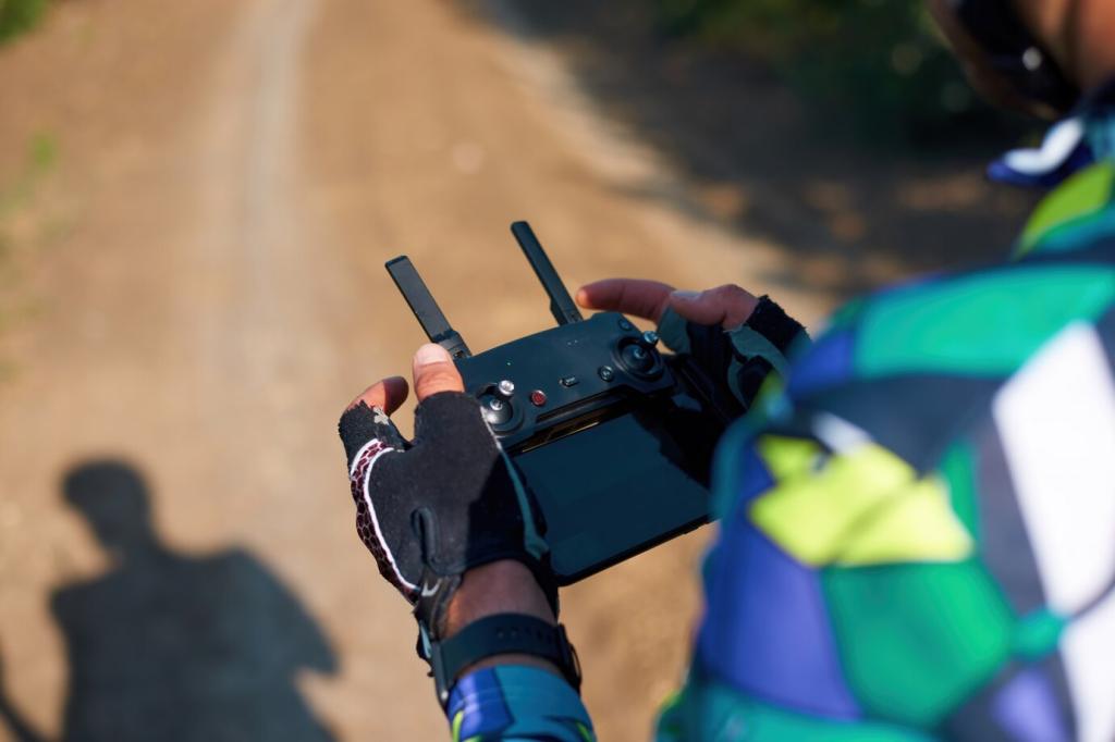
Drones empower communities living at the forest margins to take an active role in monitoring and protecting their local environments. Through training programs and participatory mapping projects, local citizens can learn to operate drones, analyze imagery, and contribute valuable insights about changes on the ground. This bottom-up approach not only provides additional “eyes in the sky” but also helps bridge the gap between external conservation organizations and the lived realities of forest-dependent people. When communities are engaged in surveillance, reporting, and response efforts, they are more invested in the outcomes, leading to greater long-term stewardship and accountability over shared natural resources.
Aerial imagery captured by drones is a powerful tool for storytelling, helping to communicate the urgency of forest conservation in ways that resonate with a broad audience. High-resolution photos and videos showcase the beauty and richness of forests, as well as the devastation wrought by illegal logging or land clearing. By sharing these compelling visuals through social media, documentaries, and educational initiatives, conservationists can connect emotionally with the public, spark conversations, and inspire people to support anti-deforestation causes. Drones democratize access to information, making it easier to rally support and funding for projects that have a direct impact on forest health.
Integrating drone technology into educational programs helps build local capacity for forest protection and scientific inquiry. Students, youth groups, and aspiring conservationists can gain firsthand experience in deploying drones, collecting environmental data, and interpreting the results. These practical skills prepare a new generation of defenders equipped to tackle deforestation with cutting-edge tools and innovative thinking. Moreover, the involvement of educational institutions ensures continuous research and development, leading to more refined and effective drone applications over time. The ripple effect is a cadre of knowledgeable advocates, scientists, and leaders driving progress in forest conservation.
